Large Lake Exploitation Data

Background
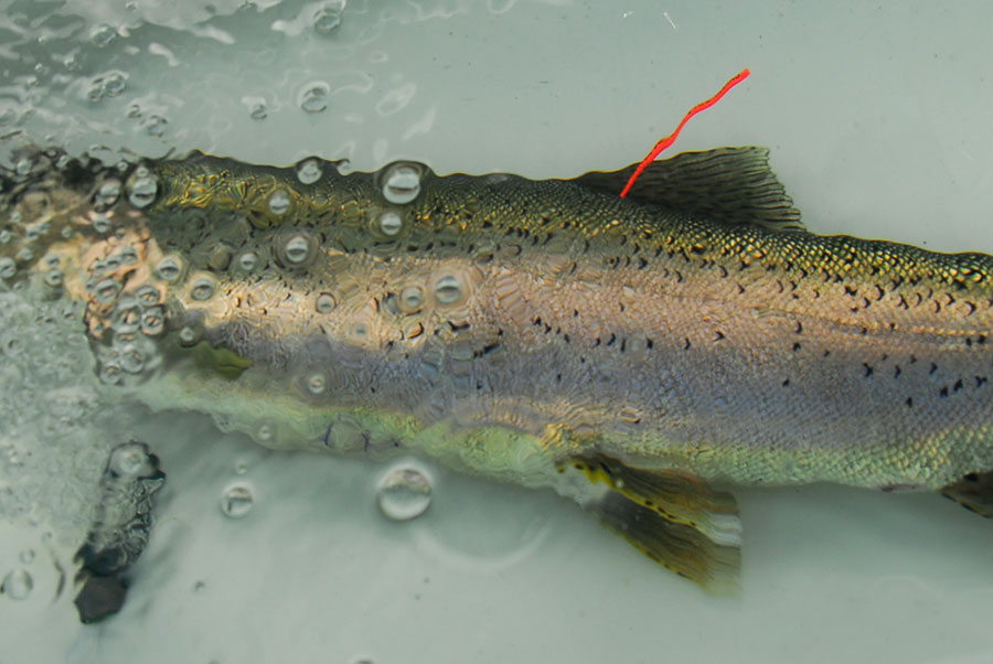
Large lake exploitation studies typically involve the capture and tagging of fish whose subsequest movements are detected using acoustic receivers. The detections, in conjunction with angler reports of externally tagged fish, are used to estimate the proportion of individuals that are captured by anglers versus die of natural causes.
While lots of information can be recorded, there is a limited amount of data that must be recorded to allow exploitation to be estimated.
The following tables list what we consider to be the key information.
Captures
Table 1. Capture data.
| Column | Description |
|---|---|
| DateTimeReleased | The date and time at which the individual was released (yyyy-mm-dd HH:MM:SS) |
| LongitudeReleased | The longitude at which the individual was released (dd.ddddd) |
| LatitudeReleased | The latitude at which the individual was released (dd.ddddd) |
| CaptureMethod | The capture method (typically rod or net or trap) |
| FishSpecies | The fish species |
| FishLength | The fish fork length (mm) |
| AcousticTagNumber | The unique acoustic tag number (leave blank if not applicable) |
| ExternalTagNumber1 | The unique first external tag number (leave blank if not applicable) |
| ExternalTagNumber2 | The unique second external tag number (leave blank if not applicable) |
All fish should be released within 100 m of the point of capture. Fish in poor condition should not be tagged.
Receivers
Table 2. Receiver data.
| Column | Description |
|---|---|
| ReceiverNumber | The unique acoustic receiver number |
| DateTimeDeployed | The date and time at which the receiver was deployed (yyyy-mm-dd HH:MM:SS) |
| LongitudeDeployed | The longitude at which the receiver was deployed (dd.ddddd) |
| LatitudeDeployed | The latitude at which the receiver was deployed (dd.ddddd) |
| DateTimeRetrieved | The date and time at which the receiver was retrieved (yyyy-mm-dd HH:MM:SS) |
| LongitudeRetrieved | The longitude at which the receiver was retrieved (dd.ddddd) |
| LatitudeRetrieved | The latitude at which the receiver was retrieved (dd.ddddd) |
Only receivers which are successfully retrieved and downloaded should be recorded. The raw data file from each receiver retrieval should be saved to file and provided as is.
Recaptures
Table 3. Recapture data.
| Column | Description |
|---|---|
| DateRecapture | The date of recapture (yyyy-mm-dd) |
| ExternalTagNumber1 | The first external tag number (leave blank if missing or not applicable) |
| ExternalTagNumber2 | The second external tag number (leave blank if missing or not applicable) |
Anglers must return all non-missing external tags to receive the reward.
Acoustic Tags
Table 4. Acoustic tag data.
| Column | Description |
|---|---|
| AcousticTagNumber | The unique acoustic tag number |
| AcousticTagModel | The manufacturers tag model code |
| AcousticTagLife | The acoustic tag life (days) |
Recovered acoustic tags should not be reused in the same study.
External Tags
Table 5. External tag data.
| Column | Description |
|---|---|
| ExternalTagNumber | The unique external tag number |
| ExternalTagValue | The reward value of the tag ($0 if a standard tag) |
| ExternalTagColor | The color of the tag |
External tags must include the text REWARD with the reward value and a phone number for reporting purposes.
Summary
For accuracy, all latitudes and longitudes should be recorded as decimal degrees to five decimal places. To minimize conversions, all latitudes and longitudes should be recorded in WGS84 (the internal format of most GPS units). For consistency, all dates and times should be recorded in local daylight-savings time.
For details of a more comprehensive but consistent data collection program see the Ocean Tracking Network.